1) map overlay


图层叠加
2) map layers piling and combination


图层叠加和拼接
1.
For example, by using the functions of GIS for map layers piling and combination, data query and comprehensive analysis, the seismotectonic map of Eastern Asia Region is compiled, the potential seismic source area of the region is delineated and their seismic activity parameters are obtained respectively.
以东亚地区地震危险性分析为例,在GIS平台下,利用GIS的图层叠加和拼接、空间数据查询和综合分析功能,编制了东亚地区地震构造图,划分了该区的潜在震源区,并得到了各潜在震源区相应的地震活动性参数,在此基础上,按1°×1°计算和分析了东亚地区未来50年超越概率为10%的峰值地面加速度。
3) chart level factor weight method


图层因素权重叠加法
1.
Taking the each coastal prefectures of Shandong Province as an evaluation unit,using each evaluation data of evaluation unit as basic database and analytic hierarchy process method to the senate bestows on the weight value on the Arcview GIS platform, sea water invasion disaster comprehensive risky index is obtained using the chart level factor weight method of super position.
以山东省沿海地区为评判单元,以各评判单元的参评因素数据为基础数据库,应用层次分析法给参评因素赋权重值,在ArcView GIS平台上,采用图层因素权重叠加法获得各评判单元海水入侵灾害综合危险性指数,求得各地海水入侵平均距离,从而实现山东省海水入侵灾害危险性区划。
6) overlay drawing


叠加图纸
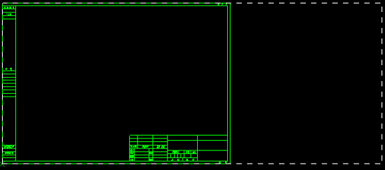
补充资料:ug加长、加宽图图框制作
如在UG中设置图幅大小为加长(或加宽)图:

Step1: 按正常方式插入标准A3图框

Step2: 打开a3.prt


说明:补充资料仅用于学习参考,请勿用于其它任何用途。
参考词条