1) topographic mapping


地表测绘
2) terrain-rendering


地表绘制
1.
This article present a new method of terrain matching based on an advanced terrain-rendering algorithm,which is based on the data str.
地形匹配问题和地表绘制算法有着密不可分的关系,地形匹配问题的具体解决是以地表绘制算法中建立的基本数据结构为基础的,因此,随着先进的地表绘制算法的提出,就产生了地形匹配问题的新解决方案的需求。
3) surveying and mapping of geology


地质测绘
1.
This paper expounds that the file management software of surveying and mapping of geology would has functions and the relationship between systemic software module and function combining with developing trend of the digitalization course of surveying and mapping work of geology.
结合地质测绘数字化进程的发展趋势及地质测绘档案管理工作的各方面,论述地质测绘档案管理系统软件应具备的功能以及系统软件模块与功能之间的关系。
4) Surveying and Mapping of Geology and Mineral Resources


地矿测绘
5) Cadastral survey


地籍测绘
1.
The application of digital survey technique in urban cadastral surveying;


数字测绘技术在城市地籍测绘工程中的应用
2.
Application Research of GPS on Cadastral Survey;


GPS在地籍测绘中的应用研究
6) geography mapping


地理测绘
1.
In this paper,the application of interpolation in geography mapping was given through an example.
通过实例,给出插值方法在地理测绘中的应用,从几何直观角度观察几种插值方法的特点和效果,进一步理解方法的应用背景和适用范围。
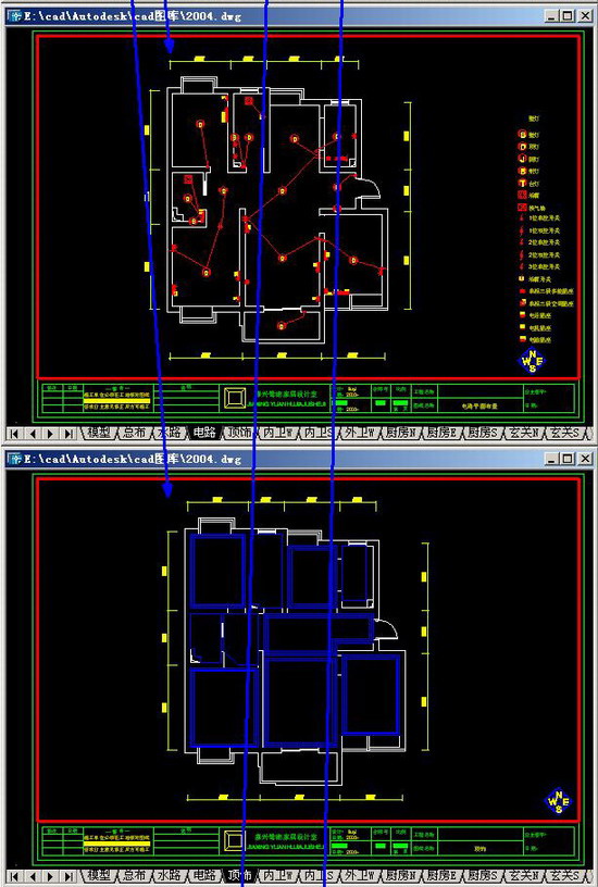
补充资料:1个dwg中绘制整套设计及布图技巧
这实际上就是建立好一套设计模板,在这个模板中已经积累完成所有需要的图块,以便快速设计——俺从来不用快捷键,具备这样的技巧便是速度~呵呵


说明:补充资料仅用于学习参考,请勿用于其它任何用途。
参考词条