1) soil mapping

土壤绘图
2) soil map making
土壤图的绘制
3) air survey for soil maps
空中绘测土壤图
4) soil utilization map making
土壤利用图的绘制
5) soil mapping
土壤制图
1.
Soil mapping based on quantitative soil-landscape model has been studied all over the world.
以土壤-景观定量模型为基础的土壤制图方法在世界范围内得到了广泛研究。
2.
Extraction of Quantitative Relationships between Soil Properties and Landscape Factors Based on Fuzzy Set Theory and Its Applications in Digital Soil Mapping;
然而传统的土壤制图是基于多边形的图形表达和手工完成的过程。
6) soil map
土壤地图
1.
Three-dimensional soil map of probabilistic interval based on fuzzy similarity measures;
基于模糊相似性之概率区间三维土壤地图
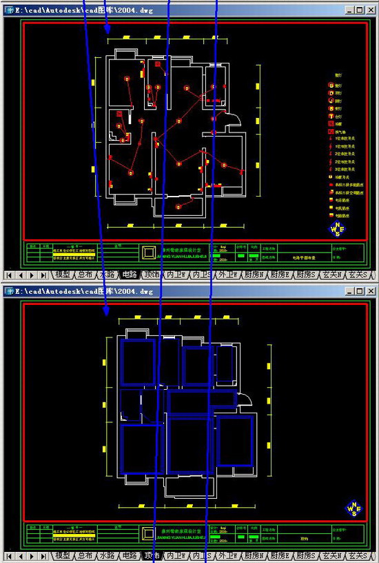
补充资料:1个dwg中绘制整套设计及布图技巧
这实际上就是建立好一套设计模板,在这个模板中已经积累完成所有需要的图块,以便快速设计——俺从来不用快捷键,具备这样的技巧便是速度~呵呵


说明:补充资料仅用于学习参考,请勿用于其它任何用途。
参考词条